
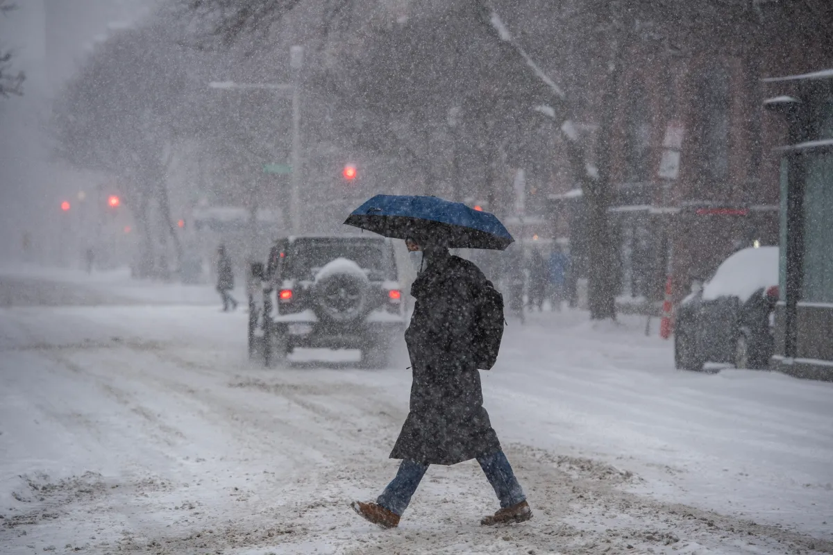
New forecast maps from the National Weather Service (NWS) Weather Prediction Center reveal the chances of Northeastern states getting hit by snow on Friday as a new winter storm lashes the region.
Forecasters warn that snowfall totals could climb significantly in the hardest‑hit areas, with up to 11 inches possible as bands of heavier snow develop.
The NWS’s probabilistic maps indicate widespread chances for disruptive snow, noting that regions across the Northeast face a high likelihood of several inches as the storm strengthens. With more snow expected through Saturday, officials urge travelers to prepare for deteriorating road conditions and reduced visibility as the system continues its eastward push.
Looking even further ahead, AccuWeather meteorologists are warning of chances the region could get hit by another potent winter storm at the end of the weekend and into early next week.
“The exact track of this storm, along with how quickly it strengthens, will determine how much snow falls in the mid-Atlantic and Northeast. The supply of cold air is limited, and that could also affect snowfall totals,” Dan DePodwin, AccuWeather Vice President of Forecasting Operations, told Newsweek in an email.

Nearly the entire Northeast faces a high chance of at least minor winter weather impacts on Friday, according to a probability map from the NWS Weather Prediction Center.

The map shows the highest chances of winter storm impacts will hit northern New York, southern Vermont, much of New Hampshire, Massachusetts, and southern Maine, with many of these areas expecting a 95 percent chance or higher of at least minor impacts.
Local NWS offices have issued winter storm warnings across this same area. The heaviest snowfall is expected in northern New York and central and southern Vermont, where up to 11 inches could fall.
“Snow will be initially wet, and snowfall rates will likely exceed 1 inch per hour this evening,” the NWS office in Burlington, Vermont, said in the winter storm warning.
“Snow will trend lighter and become increasingly dry tonight into Saturday. Isolated power outages could occur due to the weight of the snow. Scattered power outages are possible where snowfall accumulations exceed 10 inches.”
Most winter storm warnings and winter weather advisories issued across the region are set to expire by Saturday morning, which matches up with the NWS Weather Prediction Center’s probability maps for Saturday. On Saturday, the states facing an above 90 percent chance of minor winter weather impacts narrows to southern Maine and southern Vermont.

By Sunday, the area diminishes further in New England, with chances dropping to 50 percent or below for New England. But chances of another winter storm affecting states further south into the Mid-Atlantic begin to increase, strengthening even further by Monday for West Virginia.

By Tuesday, winter storm impacts will begin to diminish across the entire Eastern Seaboard once more.
