
A nor’easter is expected to march up the East Coast on Sunday into Monday, bringing significant snow for the I-95 corridor and placing New York City under a blizzard warning for the first time in nearly a decade, with the last one coming in March 2017.
As of Saturday morning, more than 40 million Americans are on alert for winter storm conditions beginning on Sunday and continuing into Monday.
New York Gov. Kathy Hochul declared a state of emergency for 22 counties, including New York City, where she said snow totals could reach as high as two feet.
“We’re all New Yorkers, we think we can handle anything but you need to hear this from me … this is one to take seriously,” she said during a news conference Saturday.
The governor said the National Guard will be available to help during the blizzard.
New Jersey Gov. Mikie Sherrill declared a state of emergency for all 21 counties starting at noon Sunday.
“I’m urging you again, do what you got to do now. There’s a great hockey game on in the Olympics tomorrow. U.S. is going for the gold. Stay at home and watch that,” Sherrill said. “If you don’t have anything else, you could do a puzzle, eat some chili, but whatever you do, try to stay home tomorrow and off the road.”
New Jersey Transit President Kris Kolluri reiterated for people to stay home and said that NJ Transit will do their best to run regular service tomorrow but will continue to monitor the situation and make adjustments as needed.
The National Weather Service has upgraded southern Delaware, the Jersey Shore, all of New York City, Long Island and coastal Connecticut to a blizzard warning for increased confidence in snowfall of more than one foot and gusty winds that will likely cause blizzard conditions.
Coastal flood watches are also up from coastal Delaware to the Jersey Shore and Long Island to the coast of southern New England for minor to moderate coastal flooding during high tide.
As the forecast continues to become clearer, expect additional winter weather alerts to be issued over the next 24 hours across the Northeast.
While the exact snowfall totals and which locations will get the most precipitation from the storm remains uncertain, confidence has increased that the eastern seaboard will be dealing with a powerful coastal storm Sunday through late Monday that will bring significant snowfall, high winds and coastal flooding.

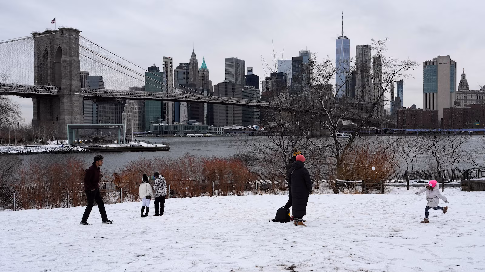
A child plays in the snow in front of Brooklyn Bridge and the Manhattan skyline in the Brooklyn Borough of New York City, U.S., February 16, 2026.
Adam Gray/Reuters
This coastal storm is expected to start taking shape over the coastal Carolinas on Sunday, bringing rain to the Mid-Atlantic and some scattered light to moderate snow from Northern Virginia up into Pennsylvania and into parts of New Jersey and New York come Sunday morning into the afternoon.
By late Sunday afternoon, the coastal storm will begin to quickly intensify off the coast of North Carolina and Virginia as it tracks to the Northeast and parallels the East Coast.
By early Monday morning, the storm is anticipated to bring heavy snow, strong wind gusts and coastal flooding across much of the coastal Northeast.
New York City Mayor Zohran Mamdani also asked New Yorkers to stay inside and stay off the roads for their safety, at a press conference Saturday.
Mamdani warned New Yorkers that Monday morning commute will be extremely hazardous with heavy snowfall and peak winds creating “slippery conditions and greatly reduced visibility,” even “dangerously icy sidewalks and streets,” he said.
Snowfall in New York City is expected to start Sunday morning starting at 6 a.m., growing heavier over the day. By 6 p.m., intense snowfall is expected to begin and dangerous winds will increase overnight into Monday morning and into the evening, Mamdani said.
New York City is currently expecting from 13 to 17 inches of snow, with a slight chance the city may get 20 inches of snow, according to Mamdani.
The Jersey Shore, Long Island, the southern coast of New England and Cape Cod could all see blizzard and whiteout conditions early Monday from the combination of heavy snow and very strong wind gusts.
By Monday evening, snow should begin to taper off almost completely for the Northeast except for New England which could still see intermittent precipitation.
